


Heavy rainfall forecast poses a significant risk, especially in the already saturated South-East


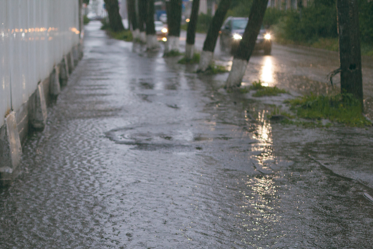
Though Ex-Tropical Cyclone Alfred has passed, some are still on edge as parts of Queensland are in for a wet few days.
Bogewong near Longreach has already seen 230mm fall in 24 hours, Florence Creek near Cloncurry has copped 154mm, the Pinnacles just outside of Townsville has had 151mm and low-lying areas in Brisbane, low-lying are being warned to prepare for flash flooding.
Press PLAY to hear from Ken Kato from the Early Warning Network.
Acting Assistant Commissioner from the Queensland Police Service Disaster Management Command, John Bosnjak, told Peter Fegan on 4BC Breakfast, “I’d be paying attention to the weather reports and to the disaster dashboards that most councils are running at the moment.”
Press PLAY to hear from authorities.
“It’s always be prepared, watch out for the weather reports, there is a likelihood of some pretty heavy rain coming in on Saturday, so just keep paying attention to the reports and like I said before, just make sure you act on what the authorities are saying,” Mr. Bosnjak said.